Browse image for File: H79N2057.IMG
Back to the CD home pageGo to the next image in this strip
Back to CD browser page
If NasaView installed as helper: Go to the full resolution image
| 205.25°E | 206.03°E | ||
|---|---|---|---|
| 80.50°N | 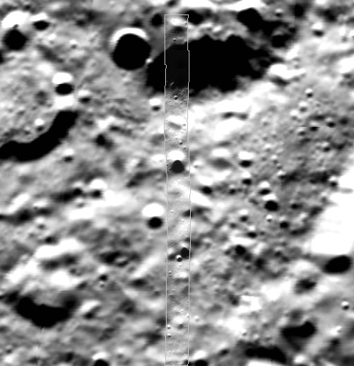 |
80.50°N | |
| 78.75°N | 78.75°N | ||
| 205.32°E | 205.98°E | ||
| CD Volume | CL_6009 |
|---|---|
| Directory (Folder) Location | HXXX2057 |
| File Name | H79N2057.IMG |
| Westernmost Longitude | 205.2460 |
| Easternmost Longitude | 206.0340 |
| Minimum Latitude | 78.7509 |
| Maximum Latitude | 80.5001 |
| Lines | 2653 |
| Line Samples | 198 |
| Map Scale (pixels/degree) | 1516.1667 |
| Map Resolution (kilometers/pixel) | 0.0200 |
| Center Longitude (of map projection) | 205.7000 |
| Map Projection | SINUSOIDAL |