Browse image for File: H07N2644.IMG
Back to the CD home pageGo to the previous image, or next image in this strip
Back to CD browser page
If NasaView installed as helper: Go to the full resolution image
| 264.63°E | 264.76°E | ||
|---|---|---|---|
| 8.75°N | 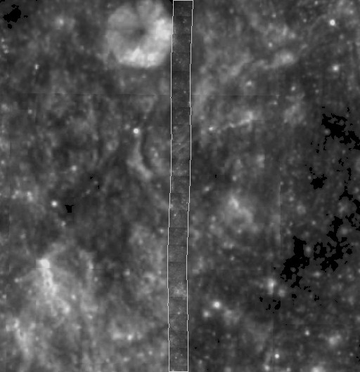 |
8.75°N | |
| 7.00°N | 7.00°N | ||
| 264.63°E | 264.76°E | ||
| CD Volume | CL_6012 |
|---|---|
| Directory (Folder) Location | HXXX2644 |
| File Name | H07N2644.IMG |
| Westernmost Longitude | 264.6320 |
| Easternmost Longitude | 264.7600 |
| Minimum Latitude | 7.0009 |
| Maximum Latitude | 8.7500 |
| Lines | 2653 |
| Line Samples | 192 |
| Map Scale (pixels/degree) | 1516.1667 |
| Map Resolution (kilometers/pixel) | 0.0200 |
| Center Longitude (of map projection) | 264.4000 |
| Map Projection | SINUSOIDAL |