Medium Browse image for File: BI52S075.IMG
Back to the CD home pageGo to the previous image, next image, or large browse image
Back to list-based browser page, or graphics-based browser page
If NasaView installed as helper: Go to the full resolution image
| 70°E | 80°E | ||
|---|---|---|---|
| 49°S | 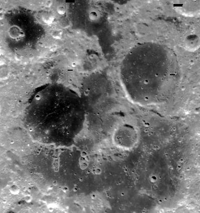 |
49°S | |
| 56°S | 56°S | ||
| 69°E | 81°E | ||
| CD Volume | CL_3004 |
|---|---|
| Directory (Folder) Location | BI70_35S |
| File Name | BI52S075.IMG |
| Westernmost Longitude | 70.0000 |
| Easternmost Longitude | 80.0251 |
| Minimum Latitude | -56.0132 |
| Maximum Latitude | -49.0000 |
| Lines | 2127 |
| Line Samples | 1994 |
| Map Scale (pixels/degree) | 303.2335 |
| Map Resolution (kilometers/pixel) | 0.1000 |
| Center Longitude (of map projection) | 75.0000 |
| Map Projection | SINUSOIDAL |