Medium Browse image for File: BM14N075.IMG
Back to the CD home pageGo to the previous image, next image, or large browse image
Back to list-based browser page, or graphics-based browser page
If NasaView installed as helper: Go to the full resolution image
| 58°E | 92°E | ||
|---|---|---|---|
| 28°N | 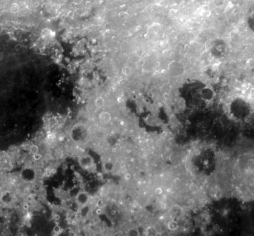 |
28°N | |
| 0°N | 0°N | ||
| 60°E | 90°E | ||
| CD Volume | CL_3015 |
|---|---|
| Directory (Folder) Location | BM90_90 |
| File Name | BM14N075.IMG |
| Westernmost Longitude | 60.0000 |
| Easternmost Longitude | 90.0824 |
| Minimum Latitude | -0.0660 |
| Maximum Latitude | 28.0000 |
| Lines | 1702 |
| Line Samples | 1824 |
| Map Scale (pixels/degree) | 60.6467 |
| Map Resolution (kilometers/pixel) | 0.5000 |
| Center Longitude (of map projection) | 75.0000 |
| Map Projection | SINUSOIDAL |