Medium Enhanced Color Browse image for UI87S210.IMG
Back to the CD home page.Go to previous or next image.
Change to the color ratio or b/w (750nm) image.
View large browse image.
Back to enhanced color, color ratio, or b/w (750nm) browser page.
If multi-band version of NasaView is installed as a helper: Go to the full resolution image.
| 180.0°E | 240.1°E | ||
|---|---|---|---|
| 84°S | 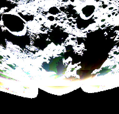
| 84°S | |
| 90°S | 90°S | ||
| -5.1°E | 5.1°E | ||
| CD Volume | CL_4077 |
|---|---|
| Directory (Folder) Location | DATA |
| File Name | UI87S210.IMG |
| Westernmost Longitude | 180.0000 |
| Easternmost Longitude | 240.1262 |
| Minimum Latitude | -90.0000 |
| Maximum Latitude | -84.0000 |
| Lines | 1819 |
| Line Samples | 1906 |
| Map Scale (kilometers/pixel) | 0.1000 |
| Map Resolution (pixels/degree) | 303.2335 |
| Center Longitude (of map projection) | 210.0000 |
| Map Projection | SINUSOIDAL |